Planning accessible routes at large venues
By James Brown · Updated 21 July 2026 · 5 minute read

Planning accessible routes at a large venue means mapping the step-free journey a less mobile visitor actually makes, identifying where the distances or surfaces defeat walking, and putting accessible transport on those legs. Surfaces and gradients matter as much as distance, and the routes need publishing so people can plan around them in advance.
Key takeaways
- Map the real step-free journey, not the shortest one on paper.
- Distance, surface and gradient all decide where transport is needed.
- Put accessible buggies on the legs that genuinely defeat walking.
- The return at the end of a long event is the leg most often forgotten.
- Publish the routes so people can plan before they arrive.
Map the real journey
The accessible route is rarely the shortest line on a plan. It is the step-free one, which may go the long way round to avoid steps, a stile, or a surface a wheelchair cannot manage. Start by mapping that actual journey, from accessible parking to the entrance to wherever people are going, as a less mobile visitor would really travel it.
Only once you have the real route can you see where it is too far, too steep or too rough to walk, which is where transport comes in.
Surface and gradient, not just distance
A short route on gravel or a slope can be harder for a wheelchair user or someone unsteady than a longer one on smooth level ground. So the question is not only how far, but over what. A hundred metres of firm tarmac is nothing; the same distance on loose gravel uphill is a barrier.
Judge each leg on distance, surface and gradient together, and put transport where any of the three makes walking unreasonable rather than only where the distance looks long on a map.
Where buggies fit
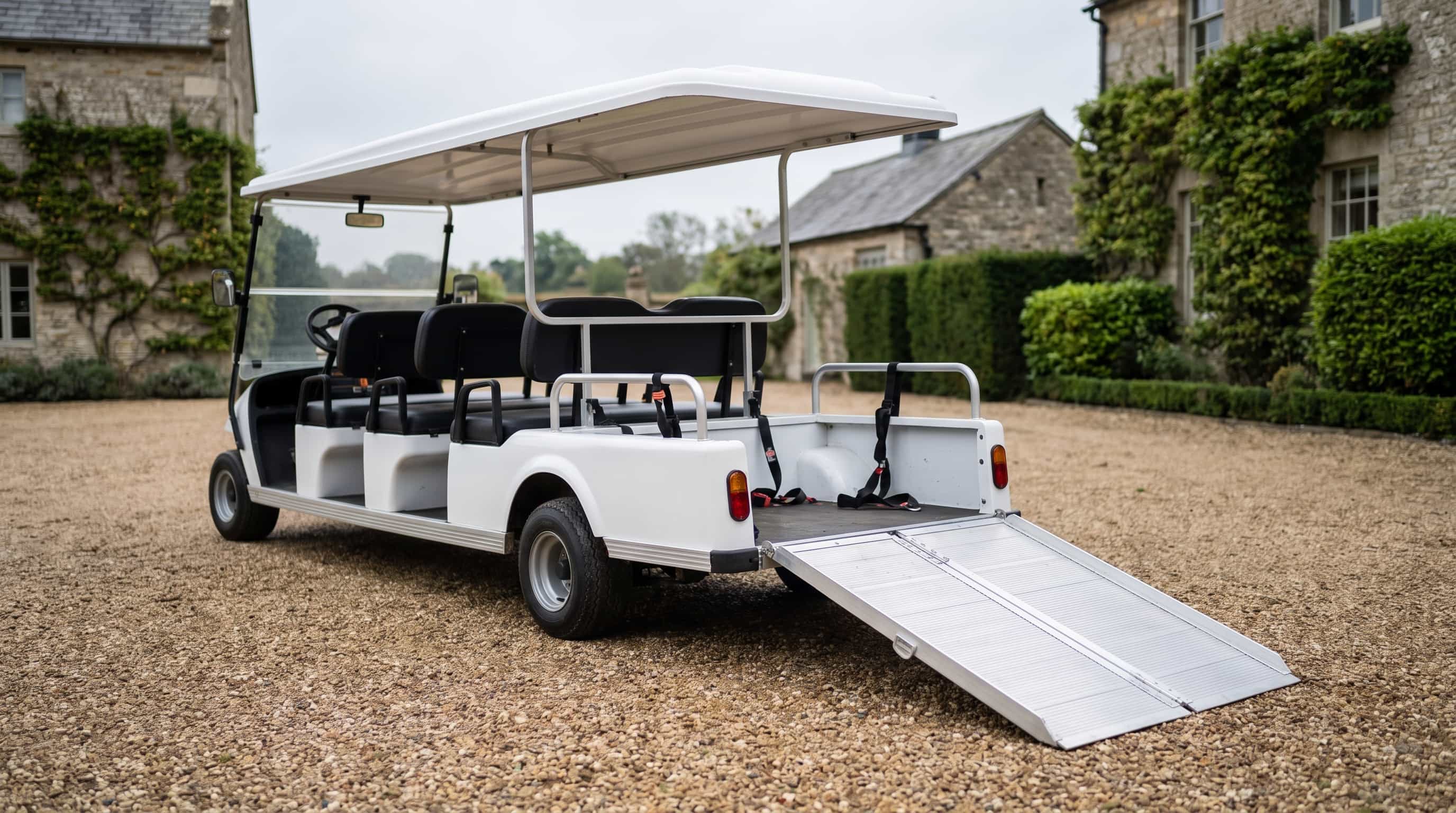
Accessible buggies fit the legs that genuinely defeat walking for a less mobile visitor: the long approach, the steep section, the rough ground. For a wheelchair user that means the accessible vehicle specifically, which carries them in their own chair.
Do not try to cover every step of every journey; cover the parts that are actually barriers. A visitor who can manage the level paved sections but not the long gravel approach needs transport on the approach, not a chauffeur for the whole visit.
Working out what this costs for your own event? Tell us the venue and dates and you will have an itemised written quote within one working hour.
Publish and staff it
Accessible routes only help if people know about them before they arrive, because that is when they decide whether they can attend and what they will need. Publish the routes and the transport in your event or venue information, clearly, so a visitor can plan.
And staff it: someone who knows the accessible routes and can direct or drive, rather than a visitor having to work it out on the day. The combination of a mapped route, transport on the hard legs, clear information and someone to help is what makes a large venue genuinely reachable.
Common questions
- How do we plan an accessible route at a large venue
- Map the real step-free journey a less mobile visitor makes, judge each leg on distance, surface and gradient, and put accessible transport on the parts that genuinely defeat walking. Then publish the routes so people can plan.
- Does the surface matter as much as the distance
- Often more. A short route on loose gravel or a slope can be a bigger barrier than a longer one on smooth level ground. Judge each leg on distance, surface and gradient together.
- Should we cover the whole journey with a buggy
- No, cover the legs that are actually barriers. A visitor who can manage the level paths but not the long gravel approach needs transport on the approach, not for the whole visit.
Ready to get a price
Tell us about your event and we will send an itemised written quote within one working hour.